
| Page
1 These photos were taken on May 19,2006 in Southern Mississippi. Remember that Katrina made landfall on the 29th of August, 2005. What you see, is what is currently there after nearly 9 months of cleanup, since Katrina first made landfall. The first 4 photos were taken along Route 49 about 30 miles or so North of Gulfport, Mississippi. We drove South on route 49 until we reached Route 90, in GulfPort and had to turn East or West. We chose West, and started taking pictures. Let me appologize for the quality of some of these photos. They were taken while driving our Motor Home, and some of them may appear slightly dark on some monitors. Others will be overexposed. I only stopped to take a few photos, hence the quality. Some of these photos may show some distortion on the right side. This is because of the wrap around windshield of the Motor Home causing the distortion. If you click on each picture, it will enlarge the photo to a near 800 x 600 resolution. The details will be much clearer. I chose the thumbnails for those with dial up internet access, so it would not take forever to load the pages, and you may enlarge only those photos that you wish to. Your best bet is to hold down the shift key on the keyboard, then left click with your mouse on the photo you want to enlarge. This will open the picture in a new window. When done viewing, just close the window with the larger pictue, and you will be back at this page to enlarge another one. I hope you find these photos enlightening, as we did, while touring this area. It was a real eye opener. |
This photo is acutally about 30 miles north of GulfPort. The owners are living in a FEMA trailer behind their original mobile home.  |
This is evidence of roof damage, also about 30 miles north of Gulfport. 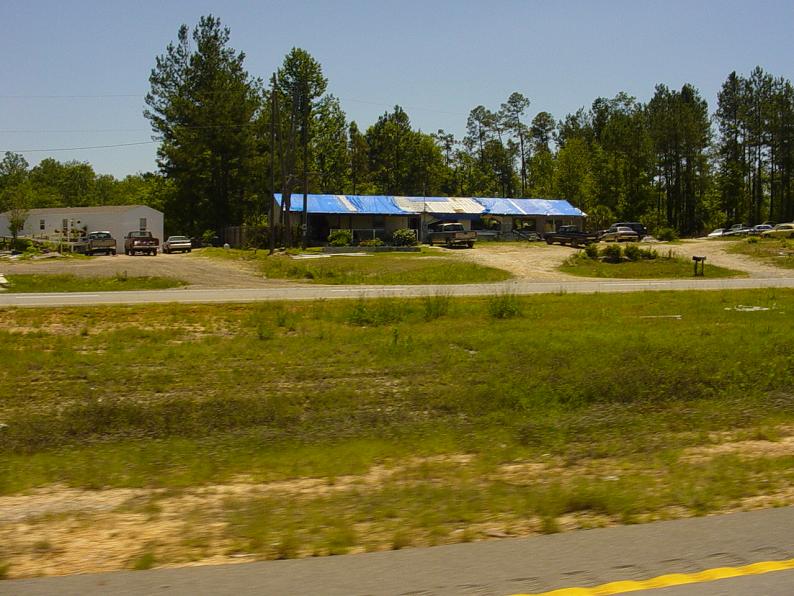 |
This is a barely visible rv park with people living here who now have no homes thanks to Katrina. 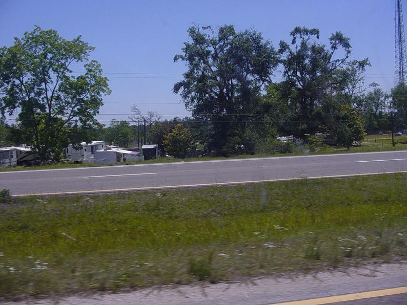 |
Also evidence of Katrina damage, and still unrepaired. This is also about 30 miles north of Gulfport. 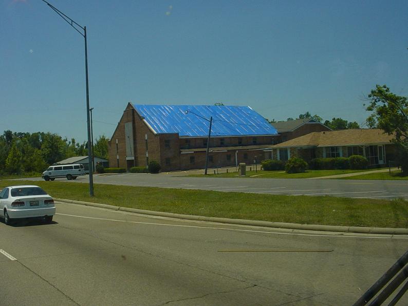 |
This is at the corner of Route 49 and 90 in GulfPort. 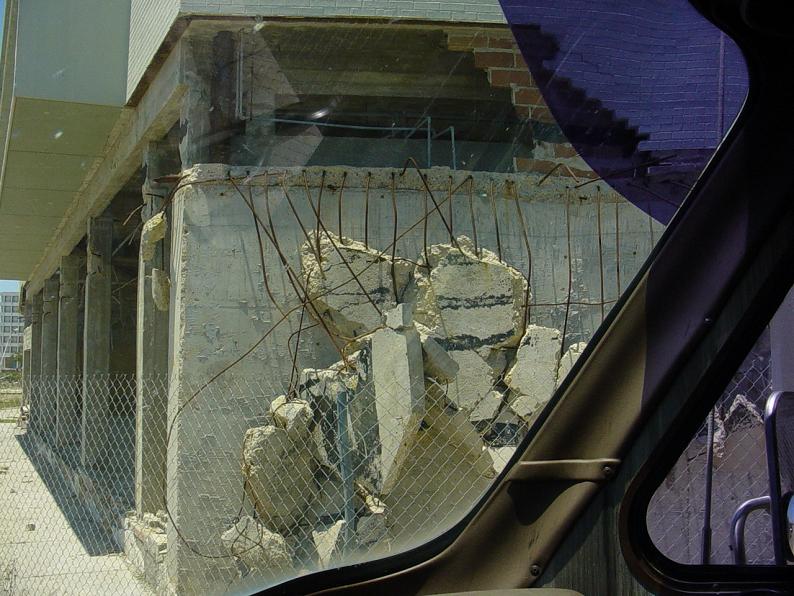 |
This is the first scene to see after making the right turn onto route 90 heading west in GulfPort. 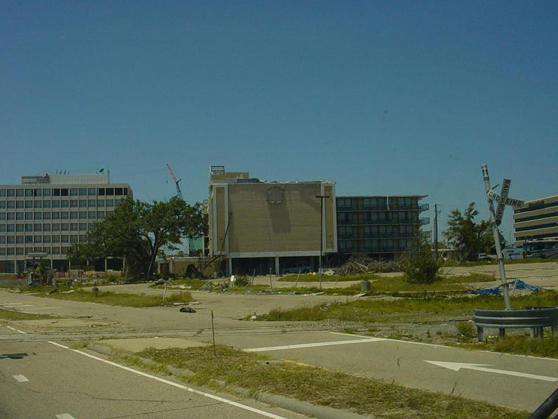 |
One of the Casinos on the south side of route 90. 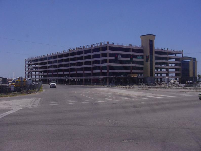 |
More evidence of Katrina's power, also on the south side of route 90. 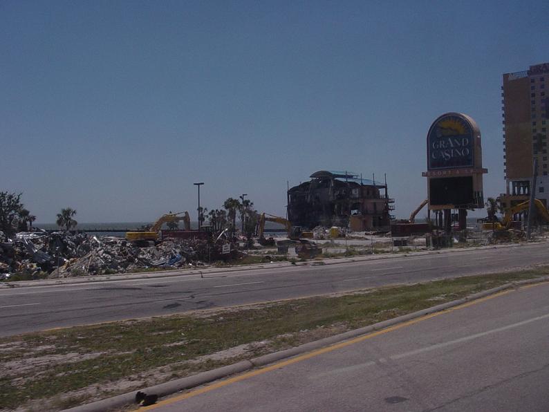 |
Here is a picture of an area bordering route 90. 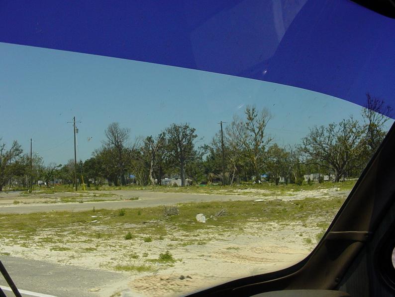 |
This boat definately is not supposed to be on the land side of route 90. It is named Hurricane Camille. 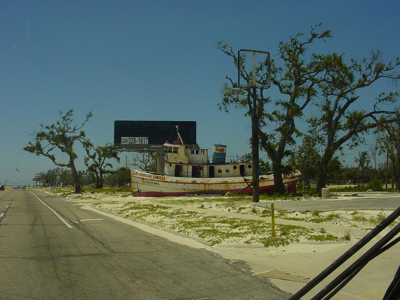 |
Moving farther along heading west on route 90. 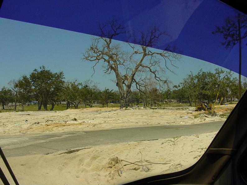 |
And another shot of what's not there. 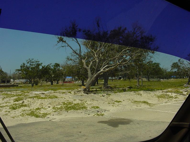 |
Notice the steps and foundation is here, and nothing else. 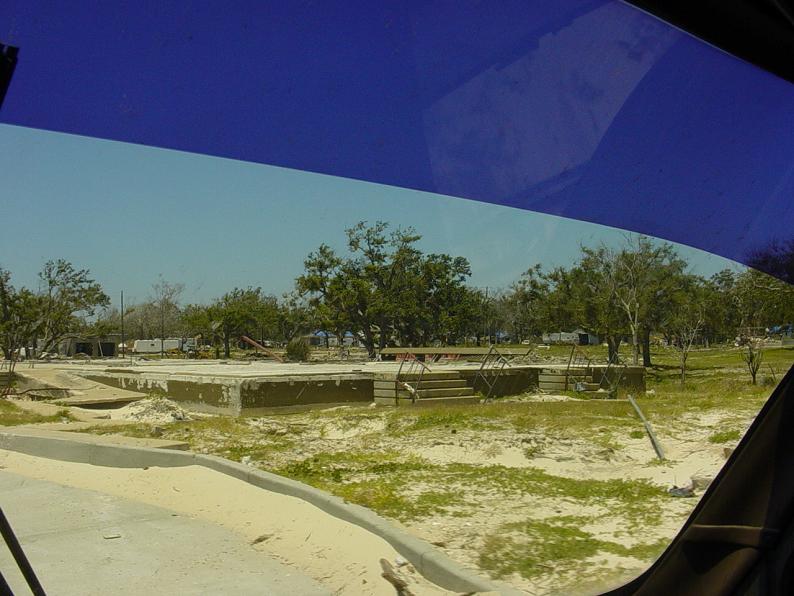 |
Some FEMA trailers sitting on a lot. Notice the one in the foreground has a wheelchair ramp leading to it. 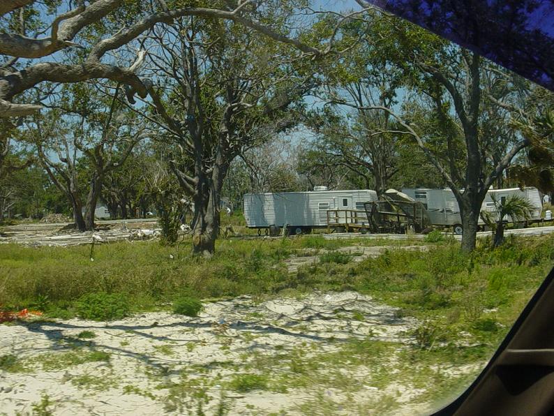 |
More evidence of what is no longer there. If you look closely, there is a sign standing, and one slightly closer, that is bent over at about a 60 degree angle. 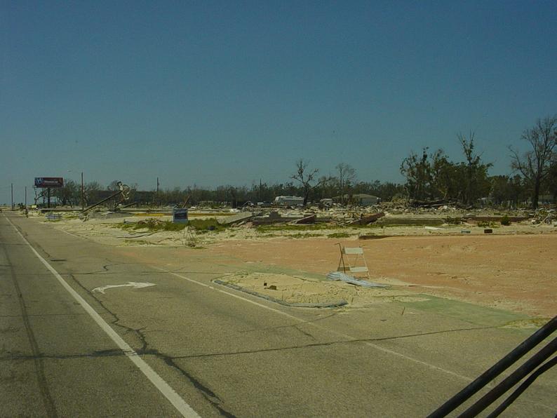 |
Debris still litters side streets. 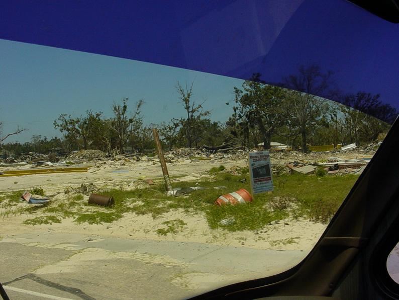 |
Another foundation still here, and nothing else. 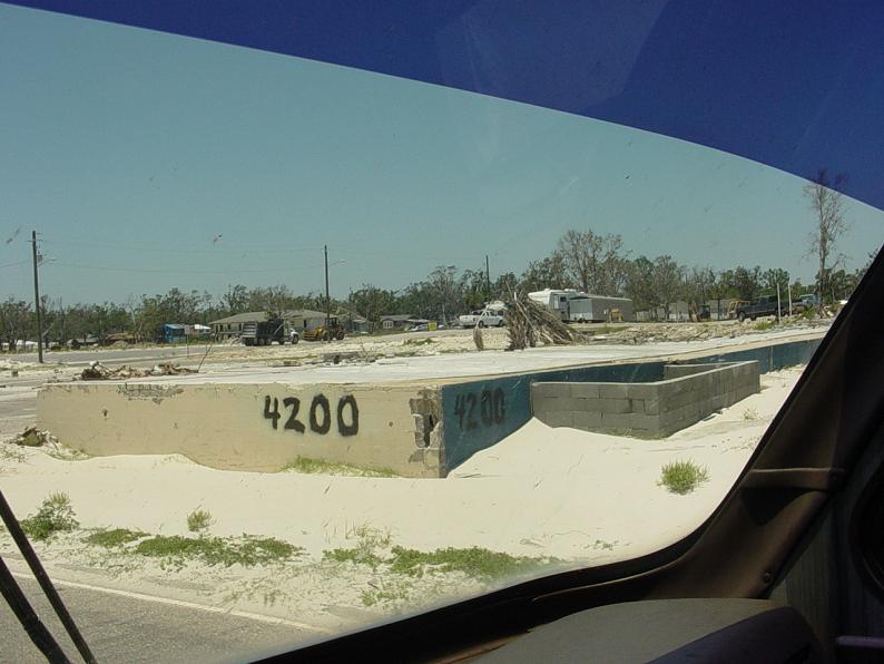 |
These structures are a block or two north of route 90. 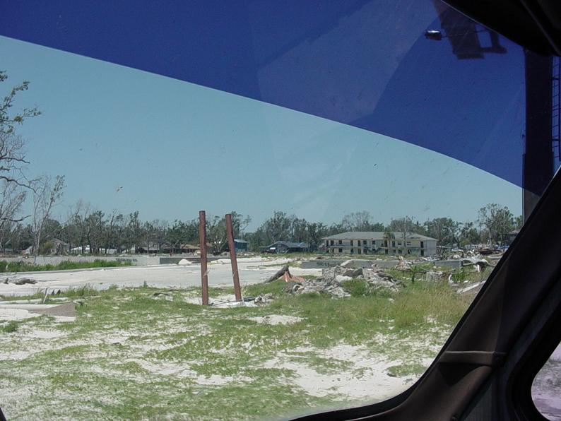 |
Waffle House plans on coming back. 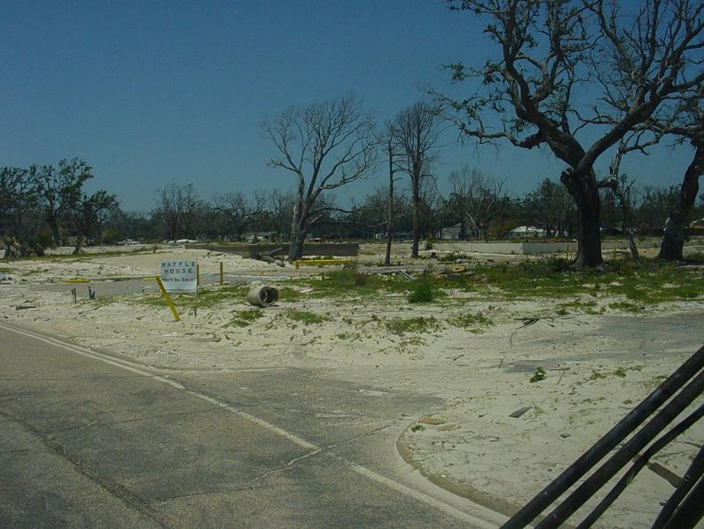 |
More Destruction. 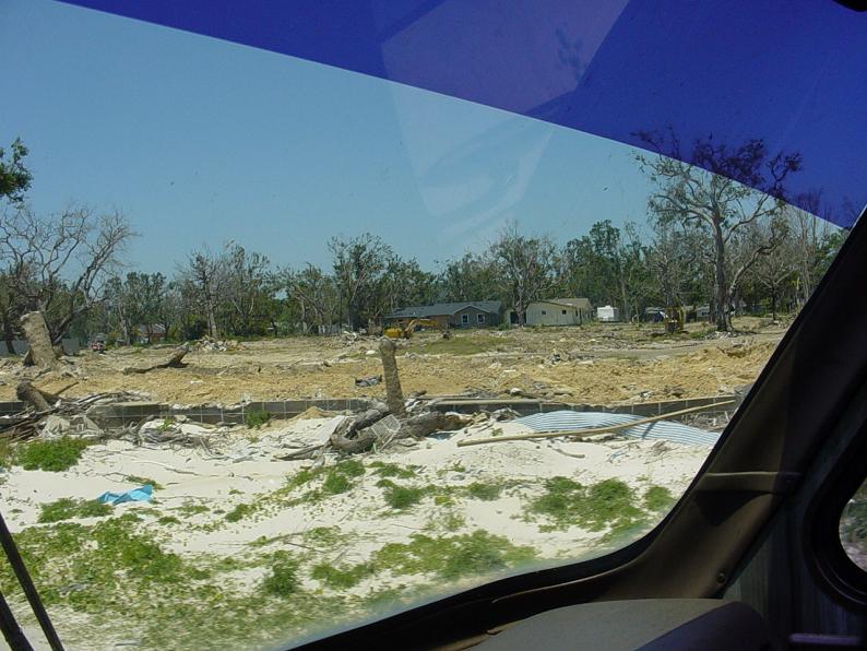 |
Katrina Page 2