
| Page
9. The first several pictures were not taken along route 90. They were taken a couple of blocks north of route 90 along some smaller side streets. The later pictures were along route 90.. |
Couple of blocks north of the beach and route 90.  |
Obviously, there should be something between where we are, and where those buildings are. 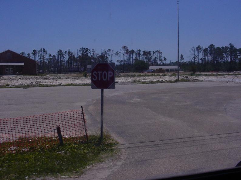 |
Debris along the side of the road. With all the other stuff that needs to be dealt with, I guess this is not all that important. 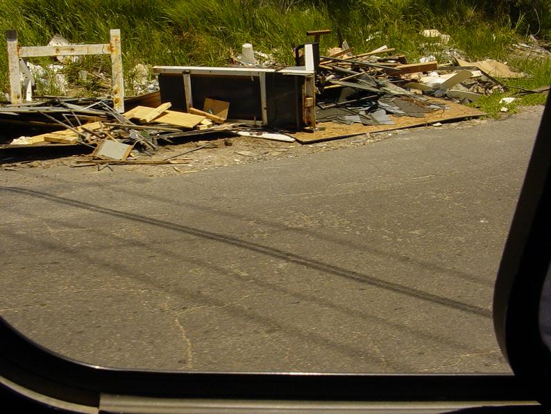 |
A new "home" on a concrete slab. 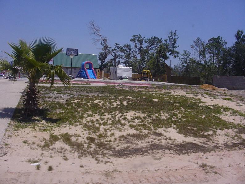 |
Yup, another FEMA "house". 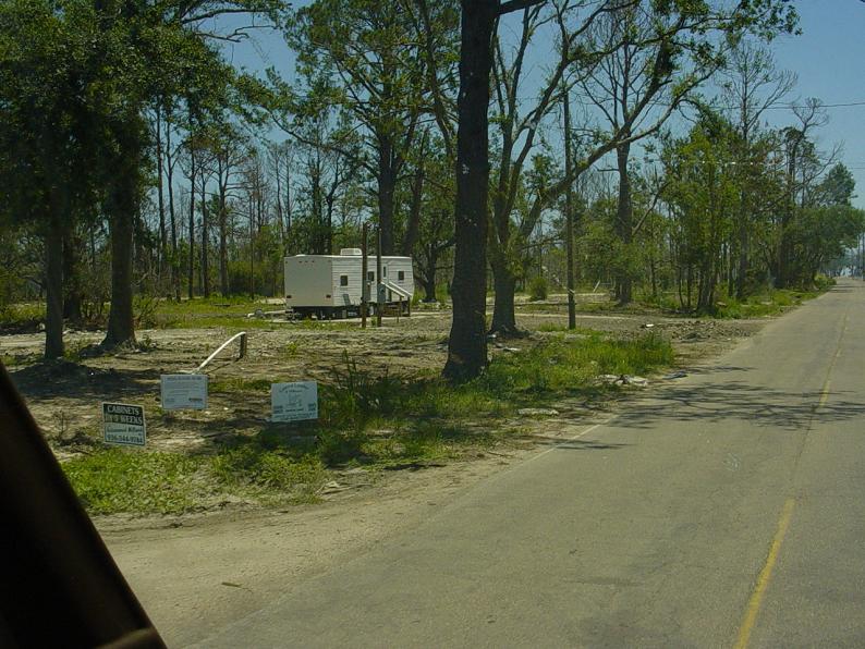 |
Behind the tree is a concrete slab, and to the left is a trailer.  |
And here we have the "Sherrifs" Department. Nobody is having the time of their life, and things are not back to normal. 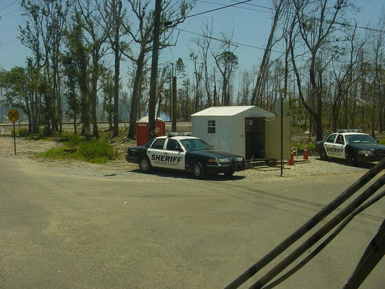 |
More cleanup and burning of debris. 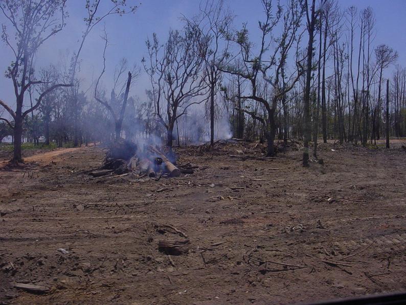 |
This was taken to show the steps leading to nowhere. 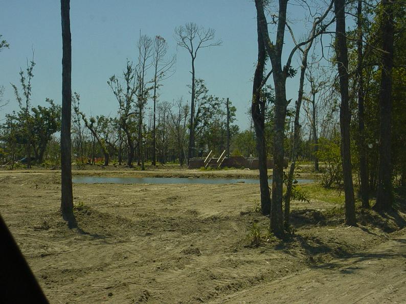 |
This is a pic of the opposite side of the steps to nowhere.  |
Are you beginning to get the idea of what is left here? 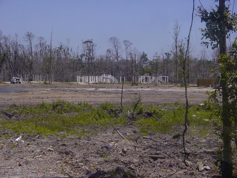 |
This is a shot towards the Gulf from a couple of blocks north of the beach / rt 90. 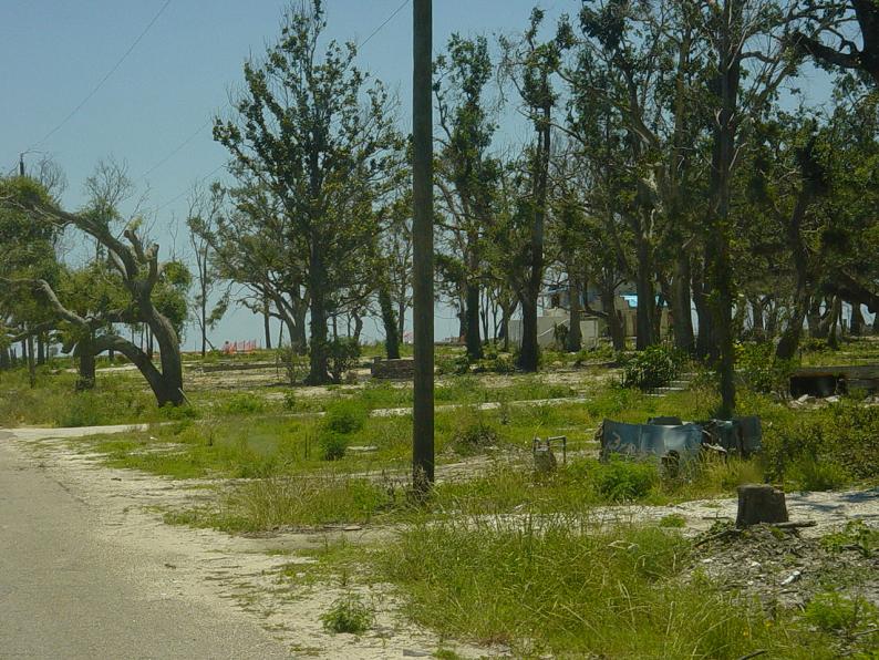 |
This is one of the few structures that survived near the beach, but it's not intact.  |
These people have a sink left.  |
Doesn't the water look nice and calm today? 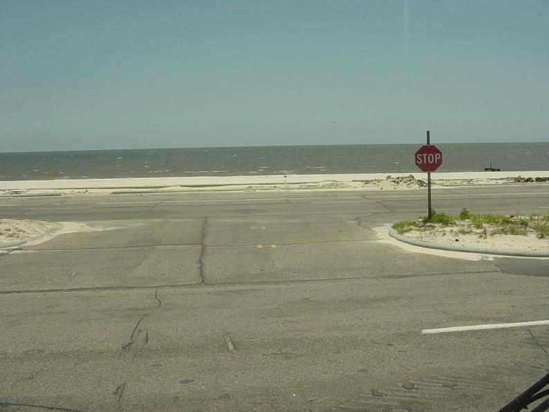 |
This is a view of Rt 90. This is the West bound lane, with the picture facing the east. The east bound lane is to the right of the trees. 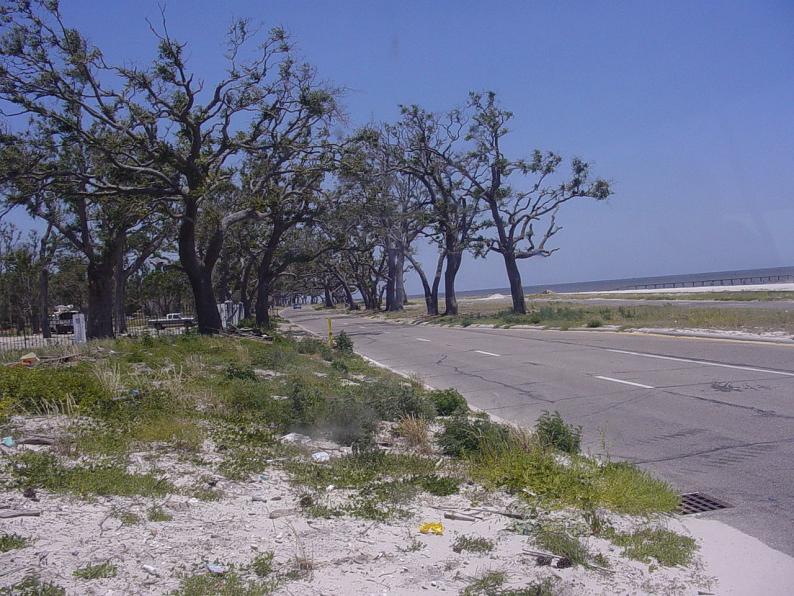 |
Another shot of the last picture. 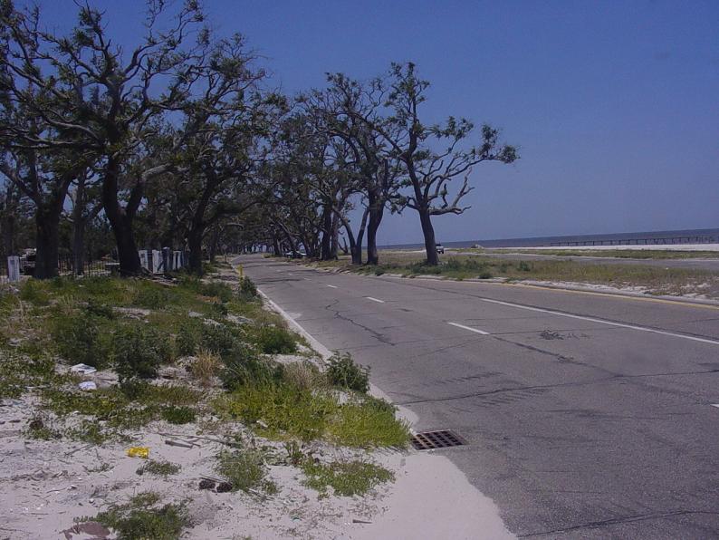 |
I think this building might be in the stages of being rebuilt, but it was really tough to tell. 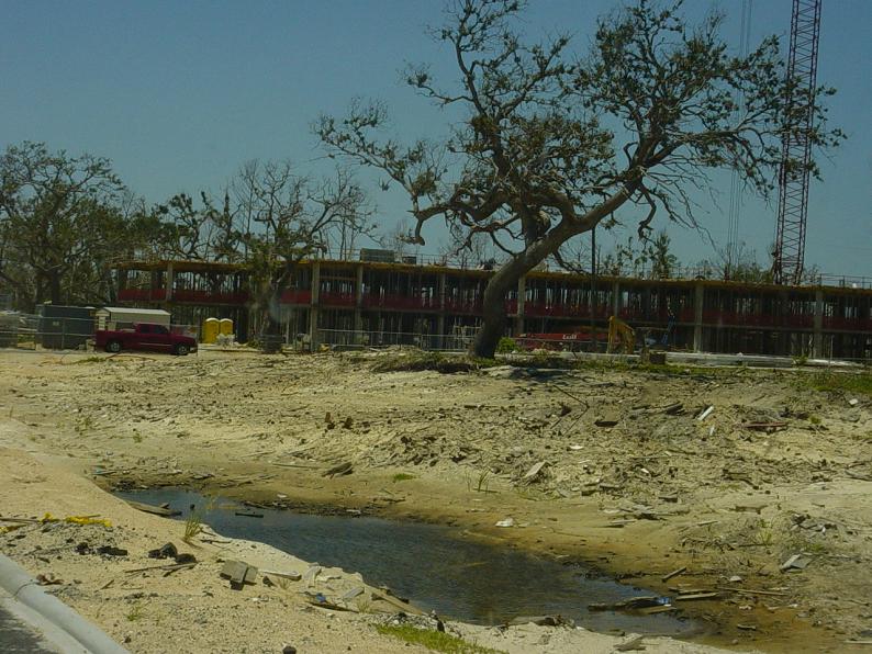 |
This was getting to the end of being able to drive west on route 90. As you can see, the road was closed ahead. The road was destroyed by Katrina. 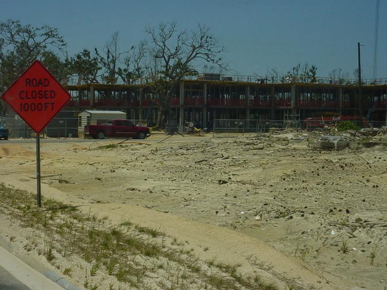 |
This owner left instructions not to bulldoze what was left of his structure. 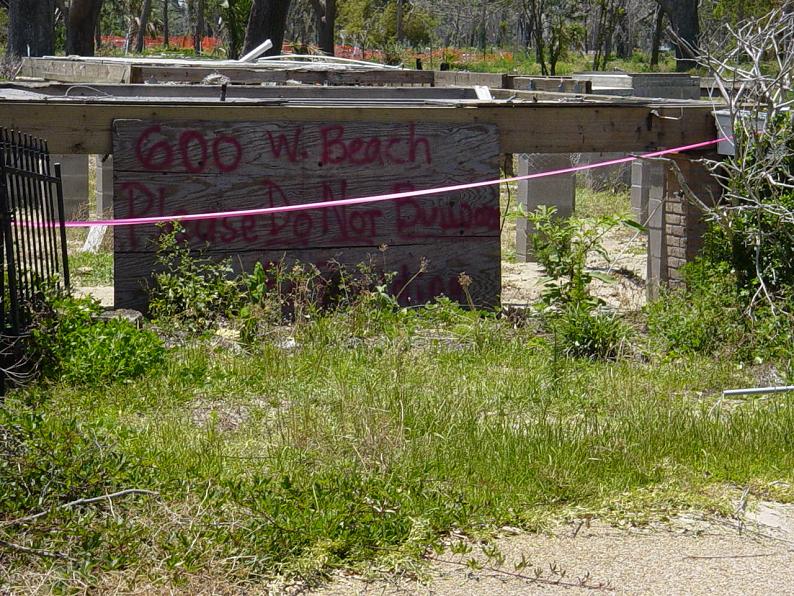 |
Katrina Page 10