
May 20, 2006
| Well,
we left Hattiesburg, Miss this morning. We are now in Hammond,
Louisiana. I drove up the road for a few miles just to check out
the area a little, and stopped for a few gallons of gas, and found the
guy below in the first picture. He and his wife were riding a
motorcycle, and pulling a trailer, and had stopped for gas. I
asked him where all he goes with that setup. He told me
that they were planning a trip to Canada this summer. Today they
were headed for the Gulf Coast. We then talked a little about
Katrina. He told me that if we would follow route 49 south,
(which we were on), when we get to GulfPort, just make a right turn,
and look at what's not there. Everything is gone, he said.
So we decided to do that. Take a small tour around the beach of
GulfPort, Ms. The first few pictures are taken from route 49
about 30 miles north of GulfPort. Starting with picture 6, that
is where route 90 intersects with route 49, and from there, all the
rest of the pics are from route 90 right along the Gulf Coast.
They are pretty much self explanatory. I must say, I wasn't
really prepared for what we saw. You have to remember, this
is 9 months after the Hurricane hit, and this is the shape it is in
after 9 months of time to clean up, and now the next hurricane season
is just about to begin. Think about that, as you look at the
pictures. This happened 9 months ago. Any how, I have
a whole bunch of pictures that I will not get posted tonight, but I
will try to get them up in the next day or two. |
The motorcycle and trailer of the guy I was talking to this morning. 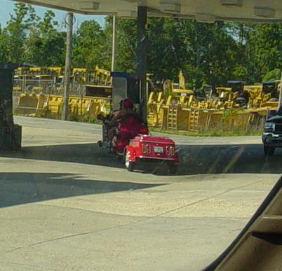 |
What Katrina did to a mobile home along route 49. This was about 30 miles or so north of GulfPort. The family is now living in trailer purchased by FEMA in back of this mobile home. Those trailers are about 25 feet long, give or take a little. 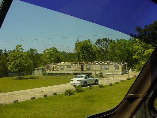 |
More roof damage, that hasn't been fixed since Katrina. 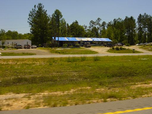 |
A trailer park north of Gulfport which was full. Most probably with Katrina displaced people. 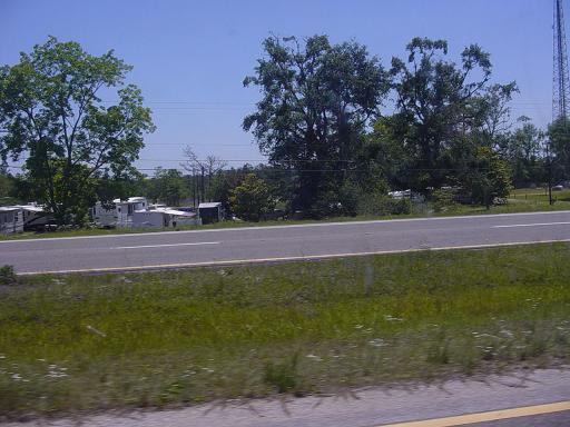 |
Another church damaged by the storm and the roof remains unrepaired. 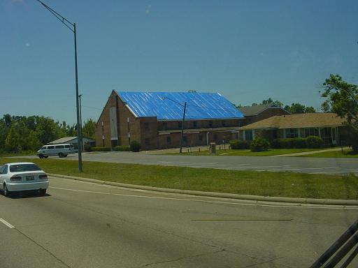 |
This is the start of the tour at route 49 and 90 intersection. It gets worse from here. 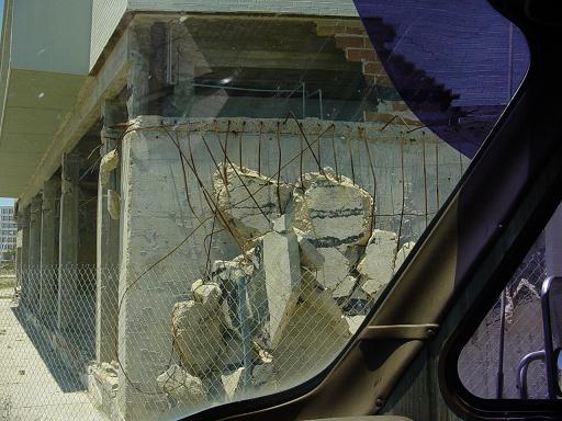 |
Just after making the turn onto route 90, this is the scene of buildings. 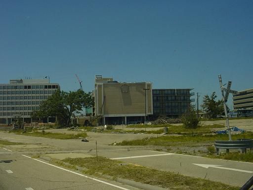 |
More Katrina damage. This is between the road and the Gulf. 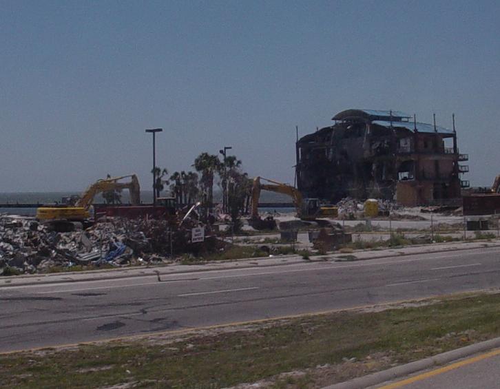 |
There used to be buildings here. Not anymore. 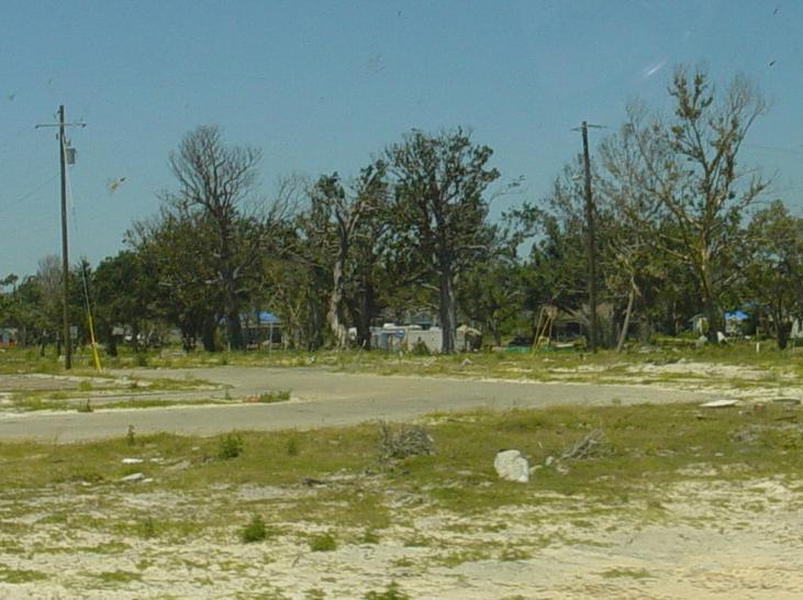 |
Obviously, this boat is on the wrong side of route 90, 9 months after the fact. 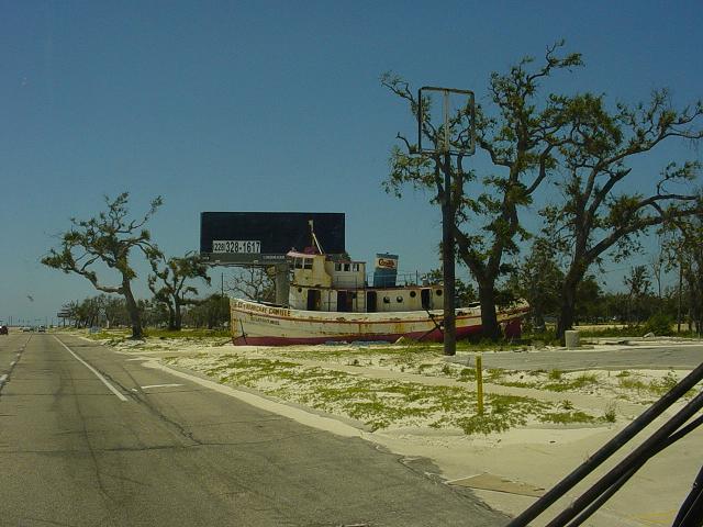 |
Again, buildings used to be here. 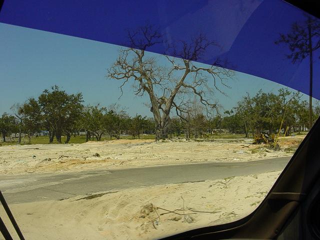 |
A couple of FEMA trailers in the distance. The trees actually survived fairly well. 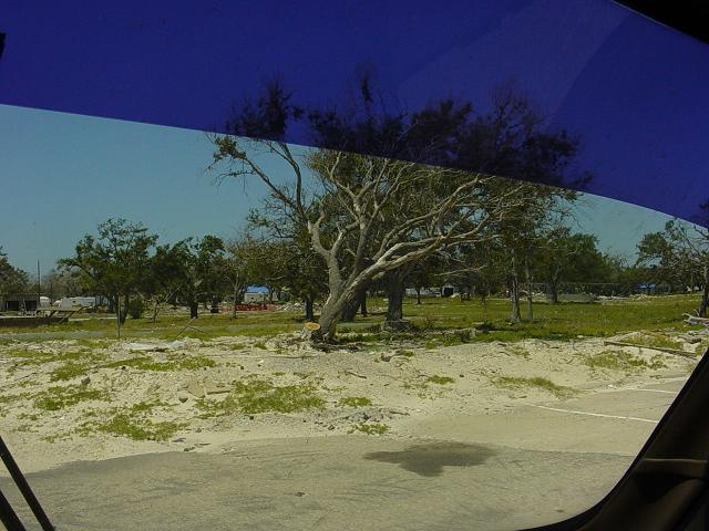 |
The foundation is left, everything else is gone. 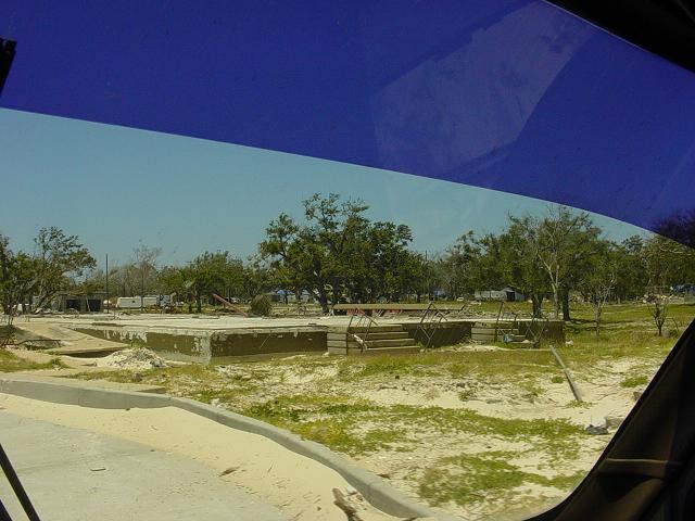 |
More evidence of what used to be here. 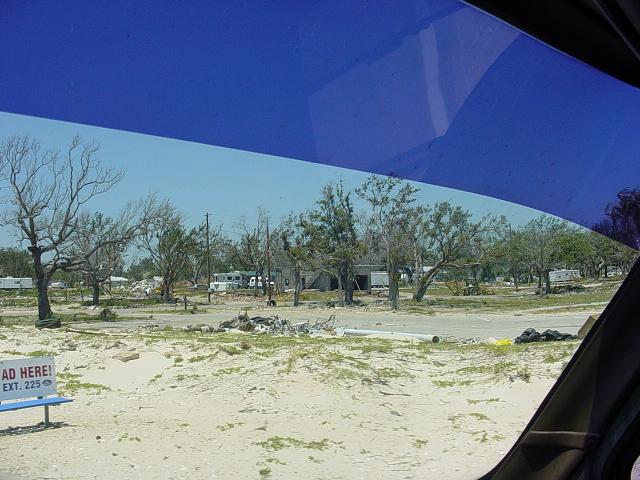 |
The sign on the left that is pushed over, tells the story here. Debris is everywhere. 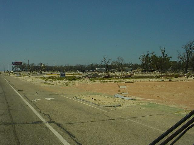 |
More debris where buildings once stood. 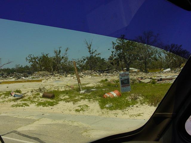 |
Only a foundation remains of whatever used to be here. 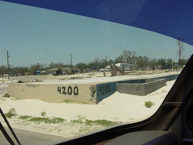 |
Same here. 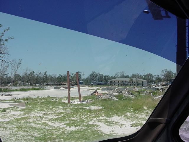 |
And here. Apparantly, there used to be a Waffle House on this lot. Gone. 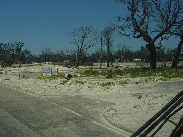 |
Back to Texas 2006 Index